Although the usage of 3D printers has existed in the market for nearly a decade now, the implications for this technology on the economy is yet to be explored. 3D printing essentially enables everyone to be their own manufacturers and as per the forecasts made by the experts, 3D printers will one day become a common sight in every home. The dawn of 3D printers is going to have a huge impact on the manufacturing sector, health and safety regulations, copyright and law in general, and so many other unknowns. After having placed a firm foot in the healthcare industry and other industries, 3D printers are all set to venture into the much undiscovered land of urban planning.
A design firm called the Steelblue which creates public spaces; 3D printed the model of San Francisco’s downtown and SOMA areas. This is believed to be the largest model of any city that has ever been made. This model was presented by Autodesk, which is a much acclaimed maker of digital modeling software and tools and Steelblue. The model was made to help Tishman Speyer, who is a real estate developer. This model was made to showcase the various projects and their impacts on the dynamic city of San Francisco. The model was created at a fraction of the cost and time than the traditional methods; it includes everything from politics to demographics to traffic planning. The model was built at Autodesk’s Pier 9 workshop using two Objet Connex 500 printers. It took almost two months to make the entire structure, including the time required to build prototypes and coasted around $20,000.
In another similar venture of 3D printing cities, this was materialized at Louisville, on the occasion of Kentucky’s Ideas Festival, which was an interactive event. In this festival community members got a chance to rearrange the city and try out new ideas for future development, all this was done with the help of 1/1000 scale. The buildings were printed out live at the event by local hackerspace LVL1, who had collaborated with the students of architecture of the University of Kentucky. The people who attended the event were able to move the 3D oriented buildings around the map of the city. The additional feature of the model was that the building could be modified with the help of Google SketchUp and printed live on one of the five 3D printers that were provided by LVL1. There were discussions among the people about the traffic patterns and zoning designations. This was a planning initiative that was held to unveil the city’s development strategies for the next 25 years. The city also plans to keep the 3D printed models and also record the ideas that were developed for the future course of action.
Apart from these two cities, Chicago was rendered in 3D way back in 2009, which was exhibited by the Chicago Architectural Foundation.
The bloating up of the map of cities helps in understanding the planning of a city in a very efficient way. It also equips architects, planners and officials to understand the city in a better way. The usage of 3D printing in urban planning is here to stay!
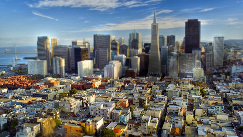
Image Credit: mtlockca (flickr handle – 64123293@N00)